
The AI Data Center Real Estate Boom in 2026: Why Investors Are Looking at Digital Infrastructure
Artificial intelligence is changing more than the technology industry. It is also reshaping the global real estate market.Behind…

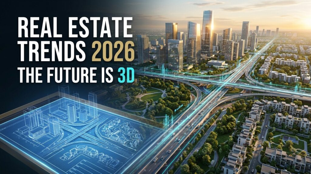
The real estate industry is entering a new era of development. Cities are expanding, investors are becoming more selective, and property developers are looking for better ways to present their projects before construction begins.
In 2026, successful real estate development is about more than acquiring land and constructing buildings. It involves strategic urban planning, sustainable architecture, infrastructure development, technology, and the ability to communicate a project’s vision clearly.
One technology becoming increasingly valuable in this process is 3D real estate visualization.
From transforming flat city maps into realistic urban environments to creating cinematic architectural animations, 3D visualization enables developers to present their proposed projects in a more immersive and understandable way.
Let’s explore the major real estate development trends shaping 2026 and how modern visualization technologies are changing the way projects are planned, presented, and marketed.
The global property market continues to evolve, but investors are increasingly focused on location, asset quality, long-term demand, and development potential.
According to PwC and the Urban Land Institute’s 2026 global real estate outlook, global real estate transaction volumes reached approximately $888.6 billion in 2025, representing a 14% increase year over year.
Meanwhile, JLL’s November 2026 global market perspective reported that direct real estate investment volumes were up 19% year to date, although growth moderated during the third quarter.
These figures indicate continued investment activity, but they do not mean every property development is automatically attractive to investors.
Developers need to communicate the value and organization of their proposed projects effectively.
This is where professional project presentations become important.
A realistic 3D masterplan helps stakeholders understand how these different elements fit together.
Smart urban development remains an important direction for the real estate industry.
Modern developments increasingly consider how residential areas, commercial districts, transportation networks, recreational spaces, and essential infrastructure work together.
Instead of treating each building as an isolated property, developers are increasingly planning integrated communities.
Connected transportation: Efficient road networks, pedestrian pathways, public transport access, and better connectivity between development zones.
Residential planning: Carefully organized housing communities, apartment developments, and access to essential facilities.
Commercial infrastructure: Shopping destinations, business districts, offices, and mixed-use developments.
Public spaces: Parks, recreational areas, landscaped boulevards, and community facilities.
Digital infrastructure: Reliable connectivity and supporting systems for modern urban environments.
A detailed 3D city visualization can bring these planning components together in one environment.
Developers can present the proposed city from multiple perspectives, allowing stakeholders to understand the overall layout instead of interpreting disconnected technical drawings.
Sustainability is no longer simply an architectural design preference. It is an increasingly important consideration in the construction and real estate industries.
The United Nations Environment Programme’s 2025–2026 Global Status Report for Buildings and Construction highlights that buildings and construction account for approximately 37% of global emissions and nearly 50% of global material extraction.
This places greater importance on energy efficiency, responsible material selection, climate resilience, and sustainable urban planning.
Architectural visualization can help communicate these proposed features before construction.
For example, a developer can showcase landscaped areas, building orientation, pedestrian access, natural lighting concepts, and planned green infrastructure through detailed 3D renders.
However, visual presentation alone does not establish a building’s environmental performance. Actual sustainability claims must be supported by appropriate engineering assessments and certifications.
Traditionally, developers have relied on architectural drawings, site maps, brochures, and static presentations to explain proposed developments.
These materials remain useful, but they may not communicate the complete experience of a large development to someone unfamiliar with architectural plans.
Imagine presenting a development containing hundreds of residential plots, apartment buildings, commercial districts, parks, and infrastructure.
A flat masterplan may communicate the layout, but it cannot always demonstrate how the completed development could look and feel.
This is why pre-construction visualization is becoming an important marketing and communication tool.
Photorealistic 3D renders: Showcase proposed residential buildings, commercial properties, and architectural concepts.
3D city masterplans: Present entire planned developments with their roads, plots, infrastructure, and landscaping.
Cinematic flythrough animations: Take viewers through the proposed city using realistic virtual camera movements.
Aerial architectural renders: Demonstrate the scale and organization of large development projects.
Construction visualization: Illustrate proposed development stages and the intended transformation of a site.
These visual materials can support property marketing, stakeholder discussions, and investor presentations.
One of the most interesting technological developments in architectural visualization is the growing use of powerful real-time rendering workflows.
Software such as Blender and Unreal Engine enables artists and visualization studios to produce sophisticated architectural environments.
Blender supports detailed 3D modeling, materials, lighting, animation, and rendering.
Unreal Engine provides powerful real-time rendering capabilities, making it possible to create immersive architectural environments and cinematic walkthroughs.
Together, these technologies can support several types of real estate visualization projects:
The result is a more detailed way to communicate architectural concepts and proposed developments.
The most valuable approach is not simply adding impressive graphics. The visualization should accurately represent the client’s supplied drawings, site plan, architectural design, and project requirements.
Investors evaluating a proposed development need to understand more than the appearance of individual buildings.
They may need to understand the overall development concept, land utilization, infrastructure, location of different zones, and proposed project phases.
A professionally prepared 3D city visualization can make these elements easier to communicate.
Consider a large residential development.
This gives investors and stakeholders a more understandable visual representation of the proposed project.
It does not replace feasibility studies, financial forecasts, land-title verification, engineering documentation, or market research. Rather, it complements those materials by making the project’s physical vision easier to understand.
As development projects become more complex, presenting them professionally becomes increasingly important.
A developer may have a substantial amount of work invested in land acquisition, planning, architecture, and infrastructure design.
However, when the proposed project is presented through incomplete drawings or low-quality visual materials, communicating its full potential can become difficult.
These materials can be used across investor meetings, development presentations, websites, digital marketing campaigns, and property exhibitions.
The objective is to make complex development plans easier to understand and evaluate.
Choosing a visualization partner is an important part of preparing a professional real estate presentation.
Developers should consider several factors before commissioning a project.
The visualization studio should understand how to work with client-provided maps, drawings, and site plans while maintaining the original geographical layout.
Buildings should have realistic proportions, suitable materials, accurate details, and coherent architectural styles.
Roads, parks, landscaping, infrastructure, and surrounding environments should be represented consistently.
A professional aerial flythrough or architectural walkthrough can help communicate the project from different perspectives.
The final output should be suitable for professional development presentations, property marketing, and investor meetings.
Clear communication about deliverables, revisions, technical requirements, and timelines helps ensure the visualization reflects the actual development proposal.
The real estate market continues to evolve through changing investment priorities, urban development requirements, sustainability considerations, and advancements in digital technology.
In this environment, developers need effective ways to communicate their projects before construction begins.
3D city visualization offers a powerful way to transform complex masterplans into understandable, detailed, and visually compelling environments.
A simple map can communicate where things are planned. A professionally developed 3D environment can demonstrate how the entire proposed development could look.
For developers preparing their next residential community, commercial district, or large-scale masterplan, investing in professional architectural visualization can help create a stronger project presentation.
At ReconHub Studio, we transform client-provided city maps, masterplans, blueprints, and architectural concepts into realistic 3D development environments.
Our visualization services focus on helping real estate developers, architects, landowners, and project companies present their proposed developments professionally.
Using professional Blender workflows and Unreal Engine-quality rendering, we turn development concepts into detailed visual showcases.
Let’s transform your plans into an impressive 3D development showcase.
Fiverr: Visit our Fiverr profile to discuss your project and request a custom order.
Your project. Their vision. Our visualization.
3D real estate visualization is the process of converting architectural plans, site maps, and development concepts into realistic three-dimensional environments that communicate how a proposed property or development could look.
It helps developers showcase large-scale projects, explain masterplans, communicate architectural concepts, and prepare visual materials for potential investors and stakeholders.
Yes. A suitable 2D map or masterplan can be used as the geographical and planning reference for developing a three-dimensional city environment, subject to the completeness and accuracy of the supplied information.
Blender is widely used for 3D modeling, animation, and rendering, while Unreal Engine provides real-time rendering and immersive architectural visualization capabilities.
Yes. Cinematic flythroughs, aerial city renders, and detailed development animations can support investor presentations, project marketing, and stakeholder communications.
ReconHub Studio offers 3D city masterplan visualization and architectural development showcases based on client-provided maps, plans, and project requirements.
Some recommended offers are affiliate links — we may earn a commission at no cost to you. Learn more
Artificial intelligence is changing more than the technology industry. It is also reshaping the global real estate market.Behind…

Modern homes and workspaces often have more electronic devices than available wall outlets.Between laptops, monitors, smartphones, televisions, speakers,…

Keeping a home organised can be challenging when storage space is limited. Kitchen counters become crowded, bathroom products…
We detected a preferred language for your region/browser. You can translate the whole site now or keep English.